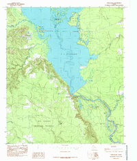
1984 Map of Town Bluff
USGS Topo · Published 1985About this map
The Neches River dominates this landscape, widened into the expansive B A Steinhagen Lake behind the structure at Dam B. This mid-1980s representation captures the area during a period of established conservation, with the massive Big Thicket National Preserve occupying much of the southern terrain and Martin Dies Jr State Park hugging the lake's northern shores.
Find a feature on this map
29 named features on this map. Tap any name to fly to it.
Don’t see what you’re looking for? This feature index may not catch every label — zoom into the map to look around manually.
Map Details
Editions of this 1984 Town Bluff Map
2 editions found
Other maps of this area

1954 · Beaumont
USGS Topo · 1:250,000

1955 · Woodville
USGS Topo · 1:62,500

1955 · Curtis
USGS Topo · 1:62,500

1957 · Beaumont
USGS Topo · 1:250,000

1958 · Warren
USGS Topo · 1:62,500

1958 · Spurger
USGS Topo · 1:62,500

1984 · Beaumont
USGS Topo · 1:250,000
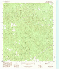
1984 · Boggy Lake
USGS Topo · 1:24,000
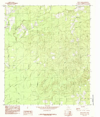
1984 · Beech Grove
USGS Topo · 1:24,000
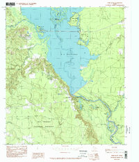
1984 · Town Bluff
USGS Topo · 1:24,000