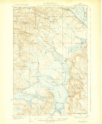
1931 Map of Square Lake
USGS Topo · Published 1931About this map
St Agatha and the surrounding townships in northern Aroostook County are defined by a vast interconnected chain of water bodies, including Square Lake, Cross Lake, and Long Lake. This 1927 survey reveals a landscape where early 20th-century settlement was concentrated along the ridges and road networks near the lakes, supported by timber and milling operations like Carriveau Mill. The presence of numerous district schools, such as Washington Sch, Webster Sch, and Coolidge Sch, illustrates a decentralized rural education system serving dispersed families across Frenchville and Saint Agatha. The map details the transition from organized towns to the wilder timberlands of the Unorganized Territory, where remote outposts like Austin Camp, Fraser Camp, and Nixon Camp line the shores, providing a window into the era's reliance on the waterways for both industry and seasonal subsistence.
Find a feature on this map
89 named features on this map. Tap any name to fly to it.
Don’t see what you’re looking for? This feature index may not catch every label — zoom into the map to look around manually.
Map Details
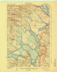
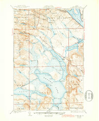
Editions of this 1931 Square Lake Map
4 editions found
Other maps of this area

1927 · Stockholm
USGS Topo · 1:48,000

1927 · Square Lake
USGS Topo · 1:48,000

1928 · Eagle Lake
USGS Topo · 1:48,000

1928 · Winterville
USGS Topo · 1:48,000

1929 · Portage
USGS Topo · 1:62,500

1929 · Caribou
USGS Topo · 1:48,000

1931 · Square Lake
USGS Topo · 1:62,500

1931 · Eagle Lake
USGS Topo · 1:62,500

1931 · Portage
USGS Topo · 1:62,500

1931 · Stockholm
USGS Topo · 1:62,500