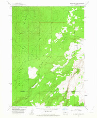
1962 Map of Squaw Back Ridge
USGS Topo · Published 1963About this map
Deschutes National Forest dominates the western landscape of this central Oregon quadrangle, where the terrain shifts from timbered slopes to the arid expanses of the Lower Desert. The high point at Squaw Back Ridge gives way to a network of steep drainages, including Stevens Canyon and Fremont Canyon, which cut through the volcanic plateaus toward Squaw Creek. This 1962 field-checked survey preserves the layout of rural land use before modern development, marking the exact locations of the Squaw Flat Ranch and Rim Rock Ranch.
Find a feature on this map
19 named features on this map. Tap any name to fly to it.
Don’t see what you’re looking for? This feature index may not catch every label — zoom into the map to look around manually.
Map Details
Editions of this 1962 Squaw Back Ridge Map
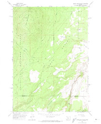
2 editions found
Other maps of this area

1926 · Bend
USGS Topo · 1:125,000

1927 · Mt. Jefferson
USGS Topo · 1:125,000

1928 · Madras
USGS Topo · 1:125,000

1929 · Bend
USGS Topo · 1:125,000

1929 · Three Sisters
USGS Topo · 1:125,000

1930 · Mt. Jefferson
USGS Topo · 1:125,000

1931 · Madras
USGS Topo · 1:125,000

1932 · Three Sisters
USGS Topo · 1:125,000

1955 · Bend
USGS Topo · 1:250,000

1957 · Bend
USGS Topo · 1:250,000