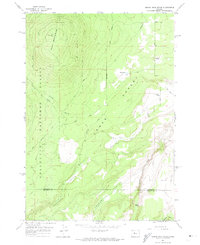
1962 Map of Squaw Back Ridge
USGS Topo · Published 1974About this map
The high desert landscape of central Oregon is defined here by the sharp transition between the wooded slopes of the Deschutes National Forest and the arid expanse of the Lower Desert. On the eastern edge of the forest, Squaw Back Ridge rises above a network of primitive tracks and forest roads like the Grandview Loop Road and Bear Springs Road. This 1962 field-checked survey preserves the location of Geneva, a former high desert post office and settlement site that had largely faded by the mid-20th century.
Find a feature on this map
21 named features on this map. Tap any name to fly to it.
Don’t see what you’re looking for? This feature index may not catch every label — zoom into the map to look around manually.
Map Details
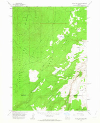
Editions of this 1962 Squaw Back Ridge Map
2 editions found
Other maps of this area

1926 · Bend
USGS Topo · 1:125,000

1927 · Mt. Jefferson
USGS Topo · 1:125,000

1928 · Madras
USGS Topo · 1:125,000

1929 · Bend
USGS Topo · 1:125,000

1929 · Three Sisters
USGS Topo · 1:125,000

1930 · Mt. Jefferson
USGS Topo · 1:125,000

1931 · Madras
USGS Topo · 1:125,000

1932 · Three Sisters
USGS Topo · 1:125,000

1955 · Bend
USGS Topo · 1:250,000

1957 · Bend
USGS Topo · 1:250,000