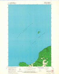
1964 Map of Squaw Bay
USGS Topo · Published 1965About this map
The southern shoreline of Lake Superior dominates this mid-1960s coastal survey, revealing a landscape defined by the cold waters and rugged periphery of northern Wisconsin. The map provides a detailed view of the westernmost reaches of the Apostle Islands, specifically Eagle Island and the surrounding Eagle Island Shoals. These features are crucial for understanding the maritime hazards and geographic formation of the archipelago during this era.
Find a feature on this map
10 named features on this map. Tap any name to fly to it.
Don’t see what you’re looking for? This feature index may not catch every label — zoom into the map to look around manually.
Map Details
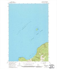
Editions of this 1964 Squaw Bay Map
2 editions found
Other maps of this area

1941 · Bayfield
USGS Topo · 1:48,000

1944 · Cornucopia
USGS Topo · 1:48,000

1946 · Cornucopia
USGS Topo · 1:48,000

1946 · Bayfield
USGS Topo · 1:48,000

1953 · Ashland
USGS Topo · 1:250,000

1954 · Two Harbors
USGS Topo · 1:250,000

1957 · Two Harbors
USGS Topo · 1:250,000

1958 · Ashland
USGS Topo · 1:250,000

1958 · Two Harbors
USGS Topo · 1:250,000

1964 · Two Harbors
USGS Topo · 1:250,000