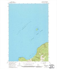
1964 Map of Squaw Bay
USGS Topo · Published 1986About this map
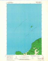
Eagle Island stands as a prominent landmark within the Apostle Islands archipelago, surrounded by the submerged hazards of the Eagle Island Shoals. The shoreline of Lake Superior is defined here by the sharp curve of Squaw Bay and the protective reach of Squaw Point. On the mainland, the landscape transitions from the aquatic expanse to the wooded townships of Bayfield and Bell. Small-scale industrial activity is evidenced by several Gravel Pits and a solitary Gravel Pit located inland from the coast. The drainage of Siskiwit Creek cuts through the southern portion of the sheet, providing a primary freshwater outlet into the bay. This mid-1960s survey captures the region's rugged isolation before modern developments, showing a shoreline primarily shaped by natural features rather than dense settlement.
Find a feature on this map
11 named features on this map. Tap any name to fly to it.
Don’t see what you’re looking for? This feature index may not catch every label — zoom into the map to look around manually.
Map Details
Editions of this 1964 Squaw Bay Map
2 editions found
Other maps of this area

1941 · Bayfield
USGS Topo · 1:48,000

1944 · Cornucopia
USGS Topo · 1:48,000

1946 · Cornucopia
USGS Topo · 1:48,000

1946 · Bayfield
USGS Topo · 1:48,000

1953 · Ashland
USGS Topo · 1:250,000

1954 · Two Harbors
USGS Topo · 1:250,000

1957 · Two Harbors
USGS Topo · 1:250,000

1958 · Ashland
USGS Topo · 1:250,000

1958 · Two Harbors
USGS Topo · 1:250,000

1964 · Two Harbors
USGS Topo · 1:250,000