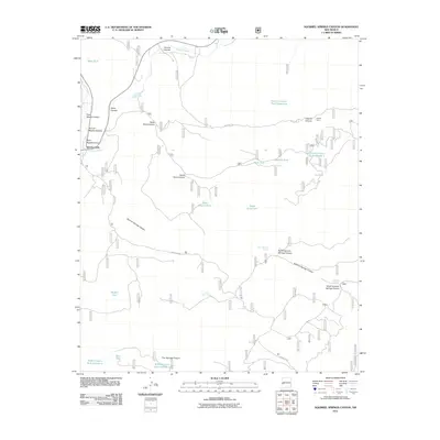
2011 Map of Squirrel Springs Canyon
USGS Topo · Published 2011About this map
The Tularosa River and its complex network of seasonal drainages define this high-country terrain in the Gila region. Water management is the primary human footprint visible on the landscape, evidenced by numerous tanks and developed springs essential for ranching and forest operations. Features such as Caguila Corral and the Posthole Tank suggest a history of livestock management within the canyon systems. Transport is dictated by a web of forest service routes, including Forest Rd 289 and Forest Rd 94, which provide access to more remote locations like Five Springs Canyon and Bear Tank. The map reveals a specialized landscape where natural water sources like Lower Cold Spring and Squirrel Spring are vital anchors for activity in an otherwise arid and dissected mountain environment.
Find a feature on this map
34 named features on this map. Tap any name to fly to it.
Don’t see what you’re looking for? This feature index may not catch every label — zoom into the map to look around manually.
Map Details
Editions of this 2011 Squirrel Springs Canyon Map
This is the sole edition of this map. No revisions or reprints were ever made.
Other maps of this area
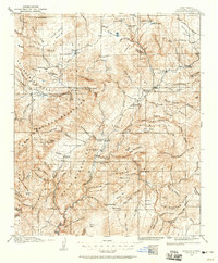
1915 · Reserve
USGS Topo · 1:125,000
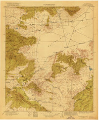
1918 · Pelona
USGS Topo · 1:125,000
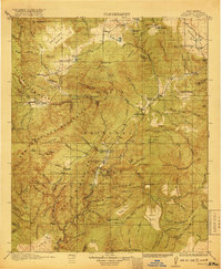
1918 · Reserve
USGS Topo · 1:125,000

1954 · Clifton
USGS Topo · 1:250,000

1957 · Clifton
USGS Topo · 1:250,000

1958 · Clifton
USGS Topo · 1:250,000
1962 · Clifton
USGS Topo · 1:250,000
1965 · Milligan Mountain
USGS Topo · 1:24,000
1965 · Aragon
USGS Topo · 1:24,000
1965 · Eagle Peak
USGS Topo · 1:24,000