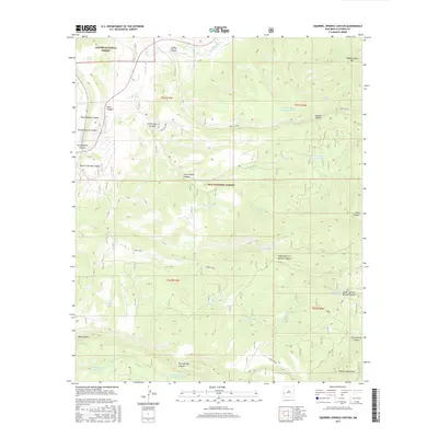
2017 Map of Squirrel Springs Canyon
USGS Topo · Published 2017About this map
The Tularosa River and its seasonal tributaries define this high-elevation corner of Catron County, where the southern boundary of the Apache National Forest meets the Gila National Forest. This 2017 survey details a landscape primarily managed for water conservation and forestry, marked by numerous man-made catchments like Govina Canyon Tank Number 8 and Posthole Tank. The terrain rises toward the Tularosa Mountains in the southeast, with local landmarks such as Wagontongue Mtn anchoring the northern horizon. The presence of perennial sources like Squirrel Spring and Foster Spring indicates the critical importance of water access in this arid environment. Forest roads, specifically Forest Rd 289 and Forest Rd 94, provide the primary infrastructure for navigating the deep drainages of Squirrel Springs Canyon and Deep Canyon.
Find a feature on this map
43 named features on this map. Tap any name to fly to it.
Don’t see what you’re looking for? This feature index may not catch every label — zoom into the map to look around manually.
Map Details
Editions of this 2017 Squirrel Springs Canyon Map
This is the sole edition of this map. No revisions or reprints were ever made.
Other maps of this area
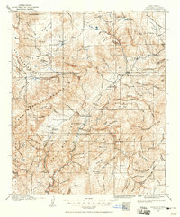
1915 · Reserve
USGS Topo · 1:125,000
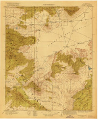
1918 · Pelona
USGS Topo · 1:125,000
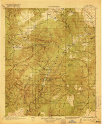
1918 · Reserve
USGS Topo · 1:125,000

1954 · Clifton
USGS Topo · 1:250,000

1957 · Clifton
USGS Topo · 1:250,000

1958 · Clifton
USGS Topo · 1:250,000
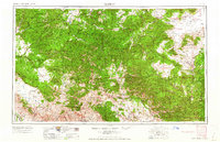
1962 · Clifton
USGS Topo · 1:250,000
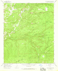
1965 · Milligan Mountain
USGS Topo · 1:24,000
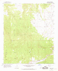
1965 · Aragon
USGS Topo · 1:24,000
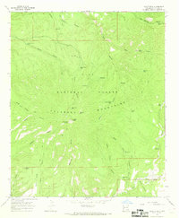
1965 · Eagle Peak
USGS Topo · 1:24,000