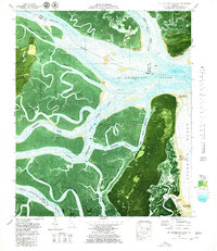
1979 Map of St Catherines Sound
USGS Topo · Published 1980About this map
St Catherines Sound serves as the central focal point of this coastal orthophotomap, where the Medway River and Bear River meet the Atlantic tide. The landscape is a complex network of salt marshes and tidal channels, separating major landmasses like Colonels Island and Ossabaw Island from the mainland. The imagery reveals the intricate drainage patterns of smaller tidewater features such as Vandyke Creek and Ashley Creek, providing a clear record of the shoreline's composition in the late 1970s.
Find a feature on this map
42 named features on this map. Tap any name to fly to it.
Don’t see what you’re looking for? This feature index may not catch every label — zoom into the map to look around manually.
Map Details
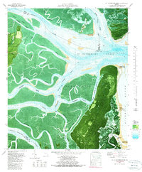
Editions of this 1979 St Catherines Sound Map
2 editions found
Other maps of this area

1920 · Sapelo River
USGS Topo · 1:62,500

1920 · Limerick
USGS Topo · 1:62,500

1928 · St Catherines Island
USGS Topo · 1:62,500

1943 · St Catherines Island
USGS Topo · 1:62,500

1943 · Sapelo River
USGS Topo · 1:62,500

1944 · Limerick
USGS Topo · 1:62,500

1944 · Ossabaw Island
USGS Topo · 1:62,500

1945 · St. Catherine's Island
USGS Topo · 1:62,500

1945 · Ossabaw Island
USGS Topo · 1:62,500

1945 · Sapelo River
USGS Topo · 1:62,500