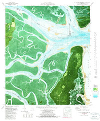
1979 Map of St Catherines Sound
USGS Topo · Published 1980About this map
St Catherines Island and its surrounding tidal landscape are preserved in this late 1970s bathymetric and topographic study. The map documents a complex network of coastal waterways including the Medway River, North River, and the Intracoastal Waterway, which cuts through the salt marshes. Settlements are sparse in this environment, though Yellow Bluff Fishing Camp appears on Colonels Island, signaling the area's recreational and maritime utility. The southern portion of the sheet is anchored by the Harris Neck National Wildlife Refuge and the southern reaches of the South Newport River. By combining traditional topography with bathymetry, the map details the shifting sands of the Medway Spit and the depths of St Catherines Sound, providing a record of the Georgia coastline before modern environmental changes.
Find a feature on this map
48 named features on this map. Tap any name to fly to it.
Don’t see what you’re looking for? This feature index may not catch every label — zoom into the map to look around manually.
Map Details
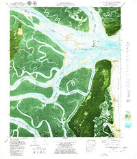
Editions of this 1979 St Catherines Sound Map
2 editions found
Other maps of this area

1920 · Sapelo River
USGS Topo · 1:62,500

1920 · Limerick
USGS Topo · 1:62,500

1928 · St Catherines Island
USGS Topo · 1:62,500

1943 · St Catherines Island
USGS Topo · 1:62,500

1943 · Sapelo River
USGS Topo · 1:62,500

1944 · Limerick
USGS Topo · 1:62,500

1944 · Ossabaw Island
USGS Topo · 1:62,500

1945 · St. Catherine's Island
USGS Topo · 1:62,500

1945 · Ossabaw Island
USGS Topo · 1:62,500

1945 · Sapelo River
USGS Topo · 1:62,500