
1952 Map of St. Charles Bay SW
USGS Topo · Published 1953About this map
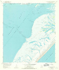
Aransas National Wildlife Refuge and Goose Island State Park anchor this coastal survey, documenting a dynamic intersection of protected wetlands and industrial infrastructure in the early 1950s. The landscape is defined by the Intracoastal Waterway, a critical navigation artery cut through Aransas Bay to facilitate maritime commerce. Extensive Mud Flats and intricate shell features like Halfmoon Reef and Long Reef characterize the shallow waters surrounding Joseph Island.
Find a feature on this map
31 named features on this map. Tap any name to fly to it.
Don’t see what you’re looking for? This feature index may not catch every label — zoom into the map to look around manually.
Map Details
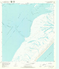
Editions of this 1952 St. Charles Bay SW Map
3 editions found
Other maps of this area

1925 · Aransas Pass
USGS Topo · 1:62,500

1950 · Corpus Christi
USGS Topo · 1:250,000

1951 · Allyns Bight
USGS Topo · 1:24,000

1952 · St. Charles Bay
USGS Topo · 1:24,000

1952 · Mesquite Bay
USGS Topo · 1:24,000

1952 · St. Charles Bay SE
USGS Topo · 1:24,000

1953 · Beeville
USGS Topo · 1:250,000

1954 · Rockport
USGS Topo · 1:62,500

1954 · Estes
USGS Topo · 1:24,000

1954 · Aransas Pass
USGS Topo · 1:62,500