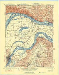
1933 Map of St. Charles
USGS Topo · Published 1947About this map
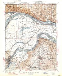
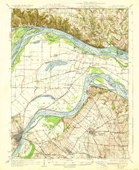
The Mississippi River and Missouri River converge in this mid-century landscape, framing a dense network of islands, sloughs, and low-lying peninsulas like Pelican Island and Portage Island. The northern bluffs near Pere Marquette State Park and Grafton contrast sharply with the expansive floodplains of Portage Des Sioux and Orchard Farm. In the south, the transition from rural fields to early suburban development is evident around Florissant and Berkeley, where the footprint of Lambert Airport and the nearby Smart Airfield reflect the region's growing aviation significance. Local history is preserved through scattered rural identifiers such as the St Stanislaus Seminary, numerous one-room schoolhouses like Point Prairie Sch, and small rail stops along the Chicago Burlington and Quincy line. The map captures a hydraulic landscape before modern levee systems and development fully altered the natural drainage of features like Marais Temps Clair and Marais Croche.
Find a feature on this map
101 named features on this map. Tap any name to fly to it.
Don’t see what you’re looking for? This feature index may not catch every label — zoom into the map to look around manually.
Map Details
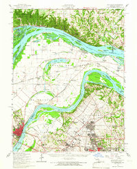
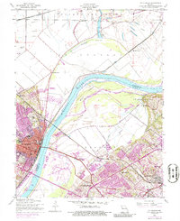
Editions of this 1933 St. Charles Map
3 editions found

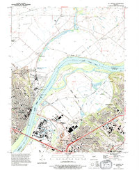
Historical Maps of Saint Charles Through Time
5 maps found