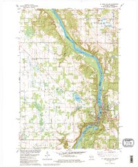
1978 Map of St. Croix Dalles
USGS Topo · Published 1979About this map
The St Croix River serves as the dividing line between Minnesota and Wisconsin, carving a deep gorge through the basalt rock at the St Croix Dalles. This mid-1970s landscape shows the sister cities of Taylors Falls and St Croix Falls connected by a bridge at the river's narrowest point, where a Powerplant and various boat ramps suggest the river's dual role in utility and recreation. To the west, the Minnesota side features the agricultural townships of Shafer and Amador, punctuated by small settlements like Palmdale and institutional markers such as the Chisago Lakes Sch.
Find a feature on this map
42 named features on this map. Tap any name to fly to it.
Don’t see what you’re looking for? This feature index may not catch every label — zoom into the map to look around manually.
Map Details
Editions of this 1978 St. Croix Dalles Map
2 editions found
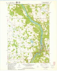
Other maps of this area

1900 · St Croix Dalles
USGS Topo · 1:62,500

1901 · St Croix Dalles
USGS Topo · 1:62,500

1950 · Rush City
USGS Topo · 1:48,000

1951 · Milltown
USGS Topo · 1:48,000

1953 · Stillwater
USGS Topo · 1:250,000

1955 · St. Croix Dalles
USGS Topo · 1:62,500

1955 · Rush City
USGS Topo · 1:62,500

1955 · Milltown
USGS Topo · 1:62,500

1955 · Forest Lake
USGS Topo · 1:62,500

1955 · Stillwater
USGS Topo · 1:250,000