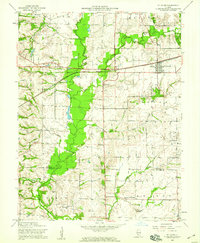
1954 Map of St. Jacob
USGS Topo · Published 1959About this map
The St Jacob village landscape is defined by the complex hydrology of Silver Creek and its major tributaries, including the East Fork and Lake Fork. In the mid-1950s, this portion of Madison County maintained a dense network of local landmarks, ranging from the prominent Emerald Mound to numerous family and community burial grounds such as Anderson Cem, Friedens Cem, and Smart Cem. The transition from rural township life to an increasingly connected region is visible through the alignment of the Pennsylvania railroad line and the presence of scattered country schools like St Johns Sch and Emerald Mound Sch. The map clearly illustrates the boundary between Madison and St. Clair counties, tracing how agricultural land use followed the natural contours of the local creek bottoms and drainage systems.
Find a feature on this map
37 named features on this map. Tap any name to fly to it.
Don’t see what you’re looking for? This feature index may not catch every label — zoom into the map to look around manually.
Map Details
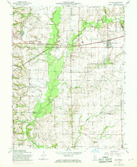
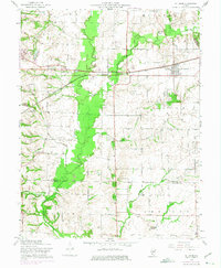
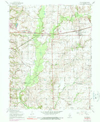
Editions of this 1954 St. Jacob Map
4 editions found
Other maps of this area

1906 · Breese
USGS Topo · 1:62,500

1907 · Breese
USGS Topo · 1:62,500

1907 · Belleville
USGS Topo · 1:62,500

1927 · Edwardsville
USGS Topo · 1:62,500

1932 · Edwardsville
USGS Topo · 1:62,500

1935 · Lebanon
USGS Topo · 1:24,000

1937 · Collinsville
USGS Topo · 1:24,000

1937 · O'Fallon
USGS Topo · 1:24,000

1937 · New Douglas
USGS Topo · 1:48,000

1944 · New Douglas
USGS Topo · 1:62,500