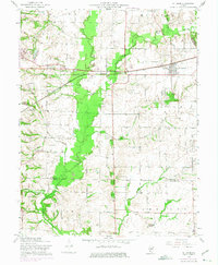
1954 Map of St. Jacob
USGS Topo · Published 1975About this map
St Jacob serves as the primary hub of this landscape, situated along the Penn Central rail line during a period of transition in rural Illinois. The map captures the agricultural and genealogical heart of eastern Madison County, where an unusually high density of family and community burial grounds, such as Hagler Cem, Lagenwalter Cem, and Schmidt Cem, dot the countryside. A notable ancient landmark, Emerald Mound, stands near the southern edge of the sheet in the O'Fallon precinct, providing a link to pre-settlement history. The drainage patterns of Silver Creek and its various branches, including Little Silver Creek, dictate the movement across the terrain, while infrastructure like the Old Railroad Grade and St Johns Sch reflect the organized development of the early twentieth-century rural school and transport network.
Find a feature on this map
39 named features on this map. Tap any name to fly to it.
Don’t see what you’re looking for? This feature index may not catch every label — zoom into the map to look around manually.
Map Details
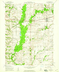
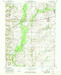
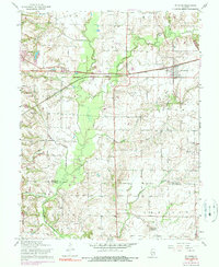
Editions of this 1954 St. Jacob Map
4 editions found
Other maps of this area

1906 · Breese
USGS Topo · 1:62,500

1907 · Breese
USGS Topo · 1:62,500

1907 · Belleville
USGS Topo · 1:62,500

1927 · Edwardsville
USGS Topo · 1:62,500

1932 · Edwardsville
USGS Topo · 1:62,500

1935 · Lebanon
USGS Topo · 1:24,000

1937 · Collinsville
USGS Topo · 1:24,000

1937 · O'Fallon
USGS Topo · 1:24,000

1937 · New Douglas
USGS Topo · 1:48,000

1944 · New Douglas
USGS Topo · 1:62,500