
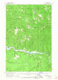
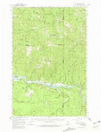
1957 Map of St. Joe
USGS Topo · Published 1960About this map
The St Joe River winds through the northern reaches of Idaho, defining the industrial and geographic character of this region during the mid-20th century. This survey reveals a landscape where the Chicago Milwaukee St Paul and Pacific Road follows the river's northern bank, serving as a primary transit artery through the Coeur d'Alene National Forest. Small settlements like Omega and Muellers Camp are positioned alongside the water, connected by local routes such as Muellers Camp Road.
Find a feature on this map
95 named features on this map. Tap any name to fly to it.
Don’t see what you’re looking for? This feature index may not catch every label — zoom into the map to look around manually.
Map Details
Editions of this 1957 St. Joe Map
3 editions found
Other maps of this area

1903 · Rathdrum
USGS Topo · 1:125,000

1909 · Cataldo
USGS Topo · 1:125,000

1911 · Cataldo
USGS Topo · 1:125,000

1950 · Rochat Peak
USGS Topo · 1:24,000

1950 · Twin Crags
USGS Topo · 1:24,000

1952 · Rochat Peak
USGS Topo · 1:24,000

1952 · Twin Crags
USGS Topo · 1:24,000

1955 · Spokane
USGS Topo · 1:250,000

1957 · St. Maries
USGS Topo · 1:62,500

1957 · Kingston
USGS Topo · 1:62,500