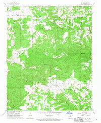
1967 Map of St. Joe
USGS Topo · Published 1968About this map
St Joe serves as the primary hub of activity in this portion of the Ozarks, situated near the intersection of several significant geological and historical markers. The map details a landscape transition from the high plateaus of Anderson Flat and Prairie down into the winding creek beds and narrow hollows of the Buffalo River watershed. A clear industrial and transport history is evident in the presence of an Old Railroad Grade that snakes along Old Mill Creek, passing near the St Joe Mountain foothills.
Find a feature on this map
37 named features on this map. Tap any name to fly to it.
Don’t see what you’re looking for? This feature index may not catch every label — zoom into the map to look around manually.
Map Details
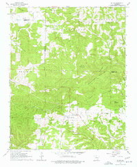
Editions of this 1967 St. Joe Map
2 editions found
Other maps of this area

1892 · Marshall
USGS Topo · 1:125,000

1893 · Yellville
USGS Topo · 1:125,000

1894 · Marshall
USGS Topo · 1:125,000

1901 · Marshall
USGS Topo · 1:125,000

1903 · Yellville
USGS Topo · 1:125,000

1905 · Yellville
USGS Topo · 1:125,000

1929 · Yellville
USGS Topo · 1:125,000

1939 · Snowball
USGS Topo · 1:62,500

1941 · Snowball
USGS Topo · 1:62,500

1942 · Snowball
USGS Topo · 1:62,500