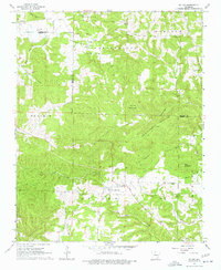
1967 Map of St. Joe
USGS Topo · Published 1977About this map
St Joe serves as a focal point in this 1960s survey of the Ozark highlands, situated near the boundary where Marion and Searcy Counties meet. The landscape is defined by its dramatic relief, punctuated by significant heights such as Round Mountain, Davy Crockett Mountain, and Pilot Mountain. Smaller settlements like Verona, Beckham, and Anderson Flat are scattered across the terrain, connected by winding roads and the prominent path of an old Railroad Grade that follows the contours of the valleys. This rail line once traced the course of Old Mill Creek, suggesting the area's historical reliance on timber or mineral extraction. Local heritage is preserved at sites like the Mennonite Cem and Anderson Flat Ch, while the presence of Gravel Pits and a Quarry indicate the small-scale industrial activity of the mid-twentieth century.
Find a feature on this map
39 named features on this map. Tap any name to fly to it.
Don’t see what you’re looking for? This feature index may not catch every label — zoom into the map to look around manually.
Map Details
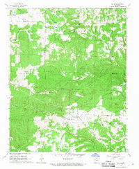
Editions of this 1967 St. Joe Map
2 editions found
Other maps of this area

1892 · Marshall
USGS Topo · 1:125,000

1893 · Yellville
USGS Topo · 1:125,000

1894 · Marshall
USGS Topo · 1:125,000

1901 · Marshall
USGS Topo · 1:125,000

1903 · Yellville
USGS Topo · 1:125,000

1905 · Yellville
USGS Topo · 1:125,000

1929 · Yellville
USGS Topo · 1:125,000

1939 · Snowball
USGS Topo · 1:62,500

1941 · Snowball
USGS Topo · 1:62,500

1942 · Snowball
USGS Topo · 1:62,500