
Loading...
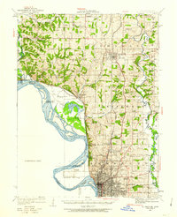
Loading map...1924 Map of St. Joseph
USGS Topo · Published 1960About this map
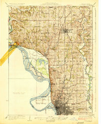
The Missouri River and its intricate floodplain dominate this 1924 landscape, carving a complex boundary between Missouri and Kansas. The river's winding path creates distinctive landforms like French Bottom and Nodaway Island, while Garlich Lake and Sollars Lake occupy former oxbows. This survey records a dense network of early 20th-century rural infrastructure, particularly the high concentration of country schools such as Hummon School, Goodloe School, and Whiteoak School that once served the farmsteads of Nodaway and Lincoln townships.
Find a feature on this map
62 named features on this map. Tap any name to fly to it.
Don’t see what you’re looking for? This feature index may not catch every label — zoom into the map to look around manually.
Map Details
Date Portrayed1924
Date Published1960
PublisherU.S. Geological Survey
Map TypeTopographic
Scale1:62500
Physical Dimensions16.9 x 20.8 inches
Editions of this 1924 St. Joseph Map
2 editions found
Historical Maps of The Estates West Through Time
Featured Locations
Source Details
SourceU.S. Geological Survey
CopyrightPublic Domain