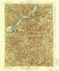
1927 Map of St Marys
USGS Topo · Published 1940About this map
St Marys serves as the focal point of this riverine and upland landscape, where the Ohio River carves a path through the valley between West Virginia and Ohio. The river's influence is evident in the dense network of settlements and islands, including Grape Island and the narrow passage known as The Thoroughfare. Away from the water, the terrain rises sharply into Kings Ridge and Pleasant Ridge, a landscape dotted with numerous rural institutions such as Mt Carmel Church and the Willow Island School. Transportation is dominated by the Baltimore and Ohio RR, which skirts the river and cuts through the interior near Ellenboro. This era of the 1920s shows a high density of country schools and churches like Dunn Chapel and Meadow Run School, reflecting a settled rural society before the consolidation of many small communities and homesteads.
Find a feature on this map
100 named features on this map. Tap any name to fly to it.
Don’t see what you’re looking for? This feature index may not catch every label — zoom into the map to look around manually.
Map Details
Editions of this 1927 St Marys Map
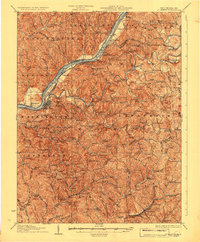
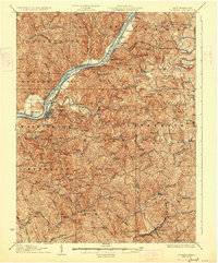
3 editions found
Other maps of this area

1903 · Macksburg
USGS Topo · 1:62,500

1904 · Marietta
USGS Topo · 1:62,500

1905 · West Union
USGS Topo · 1:62,500

1905 · New Matamoras
USGS Topo · 1:62,500

1905 · Macksburg
USGS Topo · 1:62,500

1906 · Saint Marys
USGS Topo · 1:62,500

1906 · Holbrook
USGS Topo · 1:62,500

1906 · Elizabeth
USGS Topo · 1:62,500

1906 · New Martinsville
USGS Topo · 1:62,500

1907 · Harrisville
USGS Topo · 1:62,500