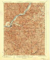
1927 Map of St Marys
USGS Topo · Published 1927About this map
St. Marys serves as the focal point of this mid-1920s survey, situated where the Baltimore and Ohio RR follows the bend of the Ohio River opposite Newport. This region of the northern Ohio Valley is defined by its intricate network of drainage and community life, with settlements like Raven Rock and Arvilla anchored to the river and rail corridors. Further inland, the landscape is densely dotted with the markers of early 20th-century rural life, including dozens of neighborhood schoolhouses such as Sugar Valley School and Jackson Hall School.
Find a feature on this map
113 named features on this map. Tap any name to fly to it.
Don’t see what you’re looking for? This feature index may not catch every label — zoom into the map to look around manually.
Map Details
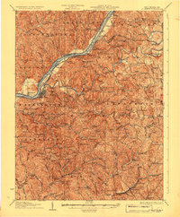
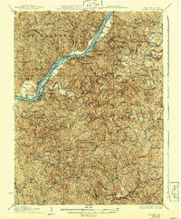
Editions of this 1927 St Marys Map
3 editions found
Other maps of this area

1903 · Macksburg
USGS Topo · 1:62,500

1904 · Marietta
USGS Topo · 1:62,500

1905 · West Union
USGS Topo · 1:62,500

1905 · New Matamoras
USGS Topo · 1:62,500

1905 · Macksburg
USGS Topo · 1:62,500

1906 · Saint Marys
USGS Topo · 1:62,500

1906 · Holbrook
USGS Topo · 1:62,500

1906 · Elizabeth
USGS Topo · 1:62,500

1906 · New Martinsville
USGS Topo · 1:62,500

1907 · Harrisville
USGS Topo · 1:62,500