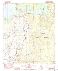
1983 Map of St. Maurice
USGS Topo · Published 1984About this map
Saline Lake and the meandering Saline Bayou dominate this landscape along the border of Natchitoches and Winn Parishes. In the early 1980s, the region maintained a rural character defined by timberlands and the Kisatchie National Forest. The settlement at St Maurice and the nearby St Maurice Plantation anchor the southern reaches near the Red River, while smaller communities like Trichell and Luella are scattered along the rail line.
Find a feature on this map
44 named features on this map. Tap any name to fly to it.
Don’t see what you’re looking for? This feature index may not catch every label — zoom into the map to look around manually.
Map Details
Editions of this 1983 St. Maurice Map
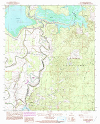
2 editions found
Other maps of this area

1935 · Verda
USGS Topo · 1:31,680

1937 · Campti NE
USGS Topo · 1:31,680

1937 · Bermuda
USGS Topo · 1:31,680

1937 · Campti SE
USGS Topo · 1:31,680

1937 · Montgomery
USGS Topo · 1:62,500

1942 · Montgomery
USGS Topo · 1:62,500

1943 · Provencal
USGS Topo · 1:62,500

1944 · Campti
USGS Topo · 1:62,500

1945 · Montgomery
USGS Topo · 1:62,500

1945 · Provencal
USGS Topo · 1:62,500