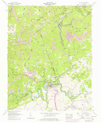
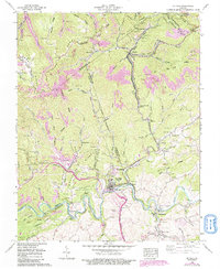
1958 Map of St Paul
USGS Topo · Published 1978About this map
The Clinch River carves a deep path through the coal-bearing ridges of Southwest Virginia, where the industrial presence of the Clinchfield RR and Norfolk and Western RR defines the landscape. The town of St Paul serves as a central hub where these rail lines intersect, supporting a network of mining operations marked by strip mines and mine dumps along Sandy Ridge. Genealogy and local history are exceptionally well-documented through dozens of family-named burial grounds, including the Salyer, Holbrook, and Bickley cemeteries. Small settlements like Dante and Virginia City are tucked into the hollows, while religious life is anchored by landmarks such as Dingus Memorial Church and Stallard Memorial Church. Engineering feats of the era, such as the Big Bull Tunnel and Craigen Tunnel, highlight the heavy infrastructure required to move coal through the mountains.
Find a feature on this map
113 named features on this map. Tap any name to fly to it.
Don’t see what you’re looking for? This feature index may not catch every label — zoom into the map to look around manually.
Map Details
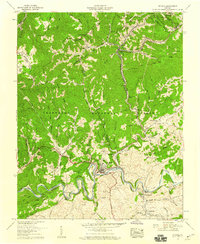
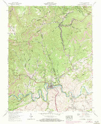
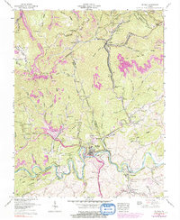
Editions of this 1958 St Paul Map
5 editions found
Other maps of this area

1886 · Grundy
USGS Topo · 1:125,000

1890 · Grundy
USGS Topo · 1:125,000

1892 · Grundy
USGS Topo · 1:125,000

1897 · Bristol
USGS Topo · 1:125,000

1902 · Bristol
USGS Topo · 1:125,000

1913 · Clintwood
USGS Topo · 1:62,500

1914 · Bucu
USGS Topo · 1:48,000

1915 · Clintwood
USGS Topo · 1:62,500

1916 · Bucu
USGS Topo · 1:62,500

1918 · Carterton
USGS Topo · 1:62,500