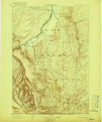
1901 Map of St. Xavier
USGS Topo · Published 1917About this map
St. Xavier Mission stands near the confluence of Big Horn River and Beauvais Creek, anchoring this turn-of-the-century portrait of southern Montana. Surveyed in the 1890s, the landscape is defined by the extensive Crow Indian Reservation, which transitions from river valleys to the high peaks of the Bighorn Mountains and the Bighorn National Forest at the Wyoming border.
Find a feature on this map
19 named features on this map. Tap any name to fly to it.
Don’t see what you’re looking for? This feature index may not catch every label — zoom into the map to look around manually.
Map Details
Editions of this 1901 St. Xavier Map
4 editions found
Other maps of this area

1893 · Huntley
USGS Topo · 1:125,000

1894 · Rosebud
USGS Topo · 1:125,000

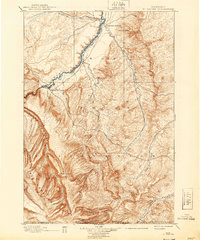
1894 · St. Xavier
USGS Topo · 1:125,000

1894 · Fort Custer
USGS Topo · 1:125,000

1895 · Dayton
USGS Topo · 1:125,000

1898 · Bald Mountain
USGS Topo · 1:125,000

1901 · Rosebud
USGS Topo · 1:125,000

1901 · Dayton
USGS Topo · 1:125,000

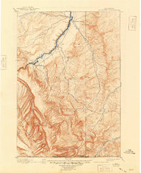
1901 · St. Xavier
USGS Topo · 1:125,000

1901 · Bald Mountain
USGS Topo · 1:125,000