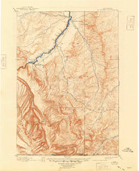
1901 Map of St. Xavier
USGS Topo · Published 1949About this map
St. Xavier Mission stands as a focal point in the northern portion of this landscape, situated near the winding course of the Big Horn River. The map captures a transition from the river valleys to the high peaks of the Big Horn Mountains, covering a vast expanse of the Crow Indian Reservation at the end of the nineteenth century. Historically significant travel and defense routes are clearly marked, including the Old Bozeman Emigrant Road and the Site of Old Fort C. F. Smith, which provided protection along the trail during earlier decades of western migration.
Find a feature on this map
19 named features on this map. Tap any name to fly to it.
Don’t see what you’re looking for? This feature index may not catch every label — zoom into the map to look around manually.
Map Details
Editions of this 1901 St. Xavier Map
4 editions found
Other maps of this area

1893 · Huntley
USGS Topo · 1:125,000

1894 · Rosebud
USGS Topo · 1:125,000

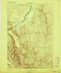
1894 · St. Xavier
USGS Topo · 1:125,000

1894 · Fort Custer
USGS Topo · 1:125,000

1895 · Dayton
USGS Topo · 1:125,000

1898 · Bald Mountain
USGS Topo · 1:125,000

1901 · Rosebud
USGS Topo · 1:125,000

1901 · Dayton
USGS Topo · 1:125,000

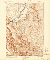
1901 · St. Xavier
USGS Topo · 1:125,000

1901 · Bald Mountain
USGS Topo · 1:125,000