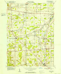
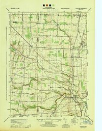
1950 Map of Stafford
USGS Topo · Published 1952About this map
Stafford sits at a critical rail crossroads in Genesee County at the start of the 1950s, where the New York Central RR, Erie RR, and Lehigh Valley RR converge. This survey captures a landscape of small agricultural hamlets and unique local landmarks, such as the Bel-air Ranch Health Camp and the curiously named Suicide Corners. The terrain is shaped by the winding courses of Black Creek and Oatka Creek, which cut through a series of named elevations like Temperance Hill and Burleigh Hill. To the southeast, the village of Le Roy marks the edge of the quadrangle near Junction, where the Baltimore and Ohio RR passes through. Smaller settlements like Little Canada, Roanoke, and the aptly named Texaco Town illustrate the density of post-war rural settlement along major arteries such as Broadway and Transit Road.
Find a feature on this map
43 named features on this map. Tap any name to fly to it.
Don’t see what you’re looking for? This feature index may not catch every label — zoom into the map to look around manually.
Map Details
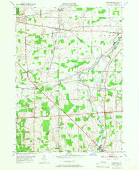
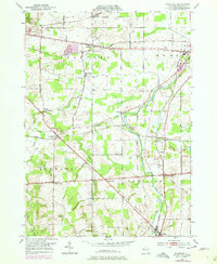
Editions of this 1950 Stafford Map
3 editions found
Other maps of this area

1897 · Albion
USGS Topo · 1:62,500

1899 · Brockport
USGS Topo · 1:62,500

1904 · Batavia
USGS Topo · 1:62,500

1904 · Caledonia
USGS Topo · 1:62,500

1935 · Churchville
USGS Topo · 1:24,000

1944 · Churchville
USGS Topo · 1:31,680

1944 · Byron
USGS Topo · 1:31,680

1944 · Stafford
USGS Topo · 1:31,680
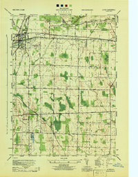
1944 · Le Roy
USGS Topo · 1:31,680
1944 · Leicester
USGS Topo · 1:31,680