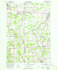
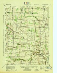
1950 Map of Stafford
USGS Topo · Published 1978About this map
Stafford and its neighboring rural townships are depicted in this 1950s survey, showing a landscape defined by traditional agriculture and early post-war cultural shifts. The arrival of the modern era is visible at the Drive-in Theater and the Bel-Air Ranch Health Camp, while the older settlement patterns remain anchored to the Conrail rail lines and small hamlets like Little Canada and Roanoke. Waterways such as Oatka Creek and Black Creek wind through the terrain, supporting the small communities of East Bethany and Pavilion.
Find a feature on this map
40 named features on this map. Tap any name to fly to it.
Don’t see what you’re looking for? This feature index may not catch every label — zoom into the map to look around manually.
Map Details
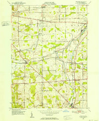
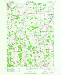
Editions of this 1950 Stafford Map
3 editions found
Other maps of this area

1897 · Albion
USGS Topo · 1:62,500

1899 · Brockport
USGS Topo · 1:62,500

1904 · Batavia
USGS Topo · 1:62,500

1904 · Caledonia
USGS Topo · 1:62,500

1935 · Churchville
USGS Topo · 1:24,000

1944 · Churchville
USGS Topo · 1:31,680

1944 · Byron
USGS Topo · 1:31,680

1944 · Stafford
USGS Topo · 1:31,680
1944 · Le Roy
USGS Topo · 1:31,680
1944 · Leicester
USGS Topo · 1:31,680