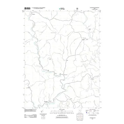
2011 Map of Stafford
USGS Topo · Published 2011About this map
Stafford and the surrounding township terrain are defined by the winding course of East Fork Duck Creek and its many tributaries, which carved the deep valleys and ridges that shaped the local transportation network. This 2011 survey illustrates a classic Appalachian landscape where settlements like Road Fork, Elk, and Harriettsville are pinned to the narrow creek bottoms, while ridges such as Tabor Ridge and Myers Ridge serve as the backbone for township roads.
Find a feature on this map
81 named features on this map. Tap any name to fly to it.
Don’t see what you’re looking for? This feature index may not catch every label — zoom into the map to look around manually.
Map Details
Editions of this 2011 Stafford Map
This is the sole edition of this map. No revisions or reprints were ever made.
Other maps of this area

1903 · Macksburg
USGS Topo · 1:62,500

1905 · New Matamoras
USGS Topo · 1:62,500

1905 · Woodsfield
USGS Topo · 1:62,500

1905 · Macksburg
USGS Topo · 1:62,500

1909 · Summerfield
USGS Topo · 1:62,500

1911 · Summerfield
USGS Topo · 1:62,500

1924 · New Matamoras
USGS Topo · 1:62,500

1926 · New Matamoras
USGS Topo · 1:62,500

1949 · Clarksburg
USGS Topo · 1:250,000

1956 · Clarksburg
USGS Topo · 1:250,000