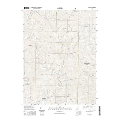
2016 Map of Stafford
USGS Topo · Published 2016About this map
The Huffman Covered Bridge spans the waters of East Fork Duck Creek near Harriettsville, reflecting the engineering traditions that once connected these rural Noble and Monroe County communities. This southeastern Ohio landscape is defined by the steep drainage basins of the Clear Fork Little Muskingum River and the numerous branches of Elk Fork. Settlement patterns are anchored by small villages such as Stafford, Flag, and Carlisle, many of which maintain historic burial grounds like Stafford Cem and Crum Ridge Cem. The eastern portion of the terrain is marked by the protected acreage of the Wayne National Forest, where high points like Hintshon Ridge overlook the deeply carved valleys of Creighton Run and Quail Run. A network of township roads and county highways, including Harriettsville Rd and Road Fork Rd, traces the ridges and hollows that have dictated local travel for generations.
Find a feature on this map
73 named features on this map. Tap any name to fly to it.
Don’t see what you’re looking for? This feature index may not catch every label — zoom into the map to look around manually.
Map Details
Editions of this 2016 Stafford Map
This is the sole edition of this map. No revisions or reprints were ever made.
Other maps of this area

1903 · Macksburg
USGS Topo · 1:62,500

1905 · New Matamoras
USGS Topo · 1:62,500

1905 · Woodsfield
USGS Topo · 1:62,500

1905 · Macksburg
USGS Topo · 1:62,500

1909 · Summerfield
USGS Topo · 1:62,500

1911 · Summerfield
USGS Topo · 1:62,500

1924 · New Matamoras
USGS Topo · 1:62,500

1926 · New Matamoras
USGS Topo · 1:62,500

1949 · Clarksburg
USGS Topo · 1:250,000

1956 · Clarksburg
USGS Topo · 1:250,000