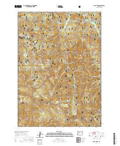
2020 Map of Staley Ridge
USGS Topo · Published 2020About this map
The Calapooya Mountains form a significant topographic divide within this portion of the Umpqua National Forest and Willamette National Forest. This high-altitude landscape is defined by its series of distinct high-meadow prairies and rocky outcrops, such as Bristow Prairie, Ranger Prairie, and Picture Rock Prairie. The drainage patterns are complex, with headwaters for Coal Cr and Bulldog Cr carved into the steep terrain.
Find a feature on this map
56 named features on this map. Tap any name to fly to it.
Don’t see what you’re looking for? This feature index may not catch every label — zoom into the map to look around manually.
Map Details
Editions of this 2020 Staley Ridge Map
This is the sole edition of this map. No revisions or reprints were ever made.
Other maps of this area

1917 · Diamond Lake
USGS Topo · 1:125,000

1925 · Waldo Lake
USGS Topo · 1:125,000

1935 · Lowell
USGS Topo · 1:96,000

1942 · Lowell
USGS Topo · 1:125,000

1955 · Illahee Rock
USGS Topo · 1:62,500

1955 · Fairview Peak
USGS Topo · 1:62,500

1956 · Toketee Falls
USGS Topo · 1:62,500

1956 · Oakridge
USGS Topo · 1:62,500

1958 · Roseburg
USGS Topo · 1:250,000

1959 · Roseburg
USGS Topo · 1:250,000