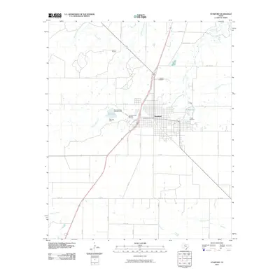
2010 Map of Stamford
USGS Topo · Published 2010About this map
Stamford serves as the focal point of this Jones and Haskell County landscape, characterized by its gridiron street pattern and civic institutions like the United States Post Office. The town's cultural heritage is anchored by the Texas Cowboy Reunion Grounds, a landmark reflecting the region's ranching traditions. Water management is a defining feature of the area, with College Lake and Red Lake providing essential resources through structures such as the Brick Yard Lake Number 2 Dam and College Lake Dam.
Find a feature on this map
43 named features on this map. Tap any name to fly to it.
Don’t see what you’re looking for? This feature index may not catch every label — zoom into the map to look around manually.
Map Details
Editions of this 2010 Stamford Map
This is the sole edition of this map. No revisions or reprints were ever made.
Other maps of this area

1891 · Anson
USGS Topo · 1:125,000

1893 · Anson
USGS Topo · 1:125,000

1954 · Abilene
USGS Topo · 1:250,000

1954 · Wichita Falls
USGS Topo · 1:250,000

1958 · Wichita Falls
USGS Topo · 1:250,000

1958 · Abilene
USGS Topo · 1:250,000

1964 · Sagerton
USGS Topo · 1:24,000

1965 · Tuxedo
USGS Topo · 1:24,000

1965 · Lueders NW
USGS Topo · 1:24,000

1965 · Lueders West
USGS Topo · 1:24,000