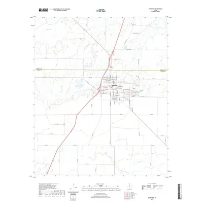
2019 Map of Stamford
USGS Topo · Published 2019About this map
Stamford straddles the boundary between Haskell and Jones Counties, serving as a central hub for the surrounding ranching and agricultural plains. The city's grid is dense with named streets, such as E McHarg Ave and W Bunkley St, reflecting its historical development. Local heritage is anchored by the Stamford Cem to the northwest and Highland Cem near the city center, which remain vital landmarks for genealogical research in this part of Texas.
Find a feature on this map
73 named features on this map. Tap any name to fly to it.
Don’t see what you’re looking for? This feature index may not catch every label — zoom into the map to look around manually.
Map Details
Editions of this 2019 Stamford Map
This is the sole edition of this map. No revisions or reprints were ever made.
Other maps of this area

1891 · Anson
USGS Topo · 1:125,000

1893 · Anson
USGS Topo · 1:125,000

1954 · Abilene
USGS Topo · 1:250,000

1954 · Wichita Falls
USGS Topo · 1:250,000

1958 · Wichita Falls
USGS Topo · 1:250,000

1958 · Abilene
USGS Topo · 1:250,000

1964 · Sagerton
USGS Topo · 1:24,000

1965 · Tuxedo
USGS Topo · 1:24,000

1965 · Lueders NW
USGS Topo · 1:24,000

1965 · Lueders West
USGS Topo · 1:24,000