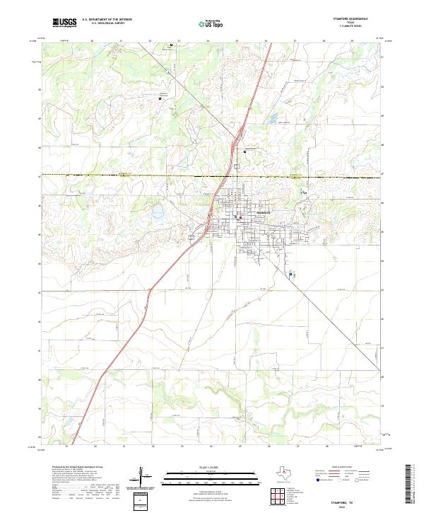
2022 Map of Stamford
USGS Topo · Published 2022About this map
Stamford sits at the intersection of Big Country geography where Haskell Co meets Jones Co. The landscape is defined by an intricate network of drainage creeks, including Turkey Paint Cr, Red Paint Cr, and Stink Cr, which carve through the plains north of town. These waterways eventually feed toward the southern drainages of California Creek and Redmud Creek. Local genealogy and historical land use are well-documented through sites like Highland Cem to the north and the Clark Ranch Cem near the upper reaches of Paint Creek. The town grid itself is detailed with street names such as W Bunkley St and E McHarg Ave, reflecting the civic layout around College Lake. This study of the Rolling Plains shows a region deeply tied to its hydrological features and established ranching boundaries.
Find a feature on this map
71 named features on this map. Tap any name to fly to it.
Don’t see what you’re looking for? This feature index may not catch every label — zoom into the map to look around manually.
Map Details
Editions of this 2022 Stamford Map
This is the sole edition of this map. No revisions or reprints were ever made.
Other maps of this area

1891 · Anson
USGS Topo · 1:125,000

1893 · Anson
USGS Topo · 1:125,000

1954 · Abilene
USGS Topo · 1:250,000

1954 · Wichita Falls
USGS Topo · 1:250,000

1958 · Wichita Falls
USGS Topo · 1:250,000

1958 · Abilene
USGS Topo · 1:250,000

1964 · Sagerton
USGS Topo · 1:24,000

1965 · Tuxedo
USGS Topo · 1:24,000

1965 · Lueders NW
USGS Topo · 1:24,000

1965 · Lueders West
USGS Topo · 1:24,000