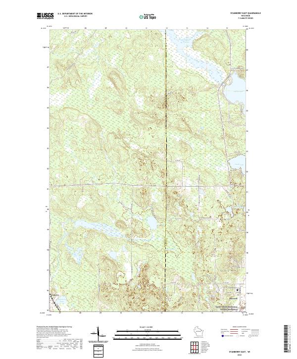
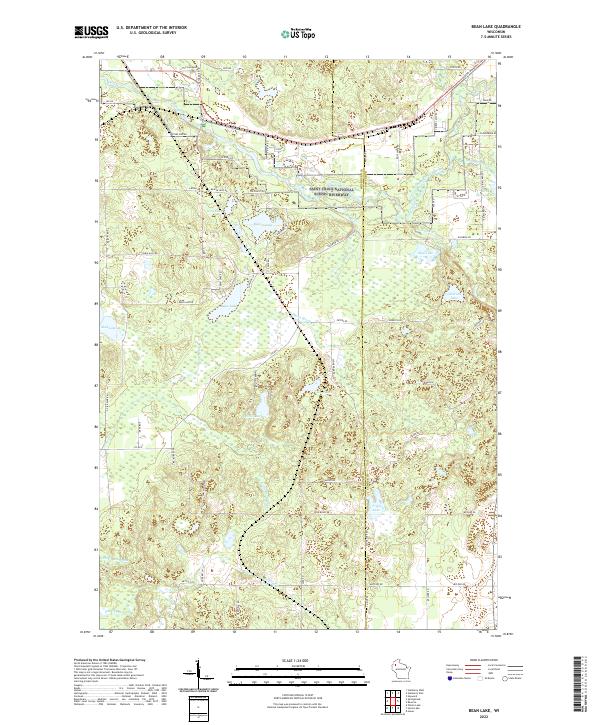
2022 Map of Stanberry East
USGS Topo · Published 2022About this map
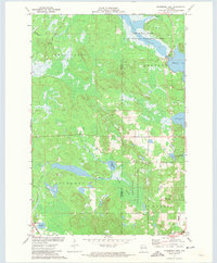
Stanberry and the northern outskirts of Hayward define the settled corners of this landscape on the border of Washburn and Sawyer counties. The area is dominated by complex glacial water systems, notably the sprawling Totagatic Flowage in the north and the wide reach of Nelson Lake. These waters, along with Chippanazie Creek and Kissick Swamp, illustrate a terrain where the drainage patterns of the Saint Croix National Scenic Riverway shape the local geography.
Find a feature on this map
53 named features on this map. Tap any name to fly to it.
Don’t see what you’re looking for? This feature index may not catch every label — zoom into the map to look around manually.
Map Details
Editions of this 2022 Stanberry East Map
This is the sole edition of this map. No revisions or reprints were ever made.
Historical Maps of Frog Creek Through Time
20 maps found
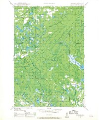
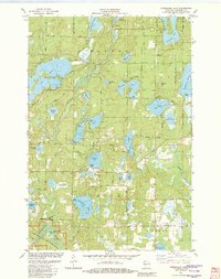
1947 Chittamo
Washburn County, WI

1949 Chittamo
Washburn County, WI
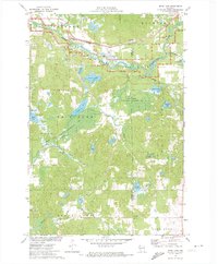
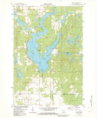
1971 Bean Lake
Washburn County, WI
1971 Potato Lake
Washburn County, WI
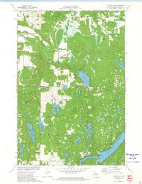
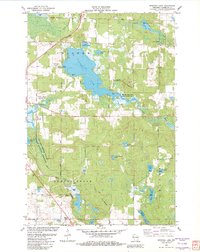
1971 Stanberry East
Washburn County, WI
1971 Stanberry West
Washburn County, WI
1981 Sarona
Washburn County, WI
1982 Dunn Lake
Washburn County, WI
1982 Horseshoe Lake
Washburn County, WI
1982 Nobleton
Washburn County, WI
1982 Spooner Lake
Washburn County, WI
2022 Bean Lake
Washburn County, WI
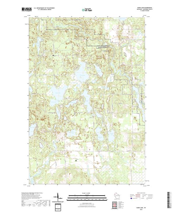
2022 Dunn Lake
Washburn County, WI
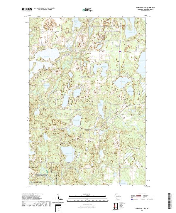
2022 Horseshoe Lake
Washburn County, WI
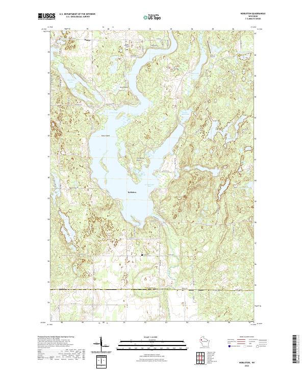
2022 Nobleton
Washburn County, WI
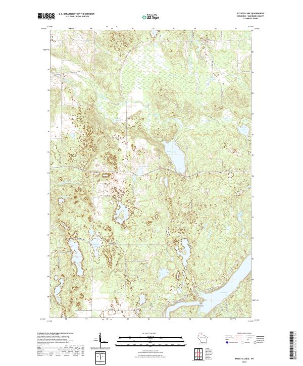
2022 Potato Lake
Washburn County, WI
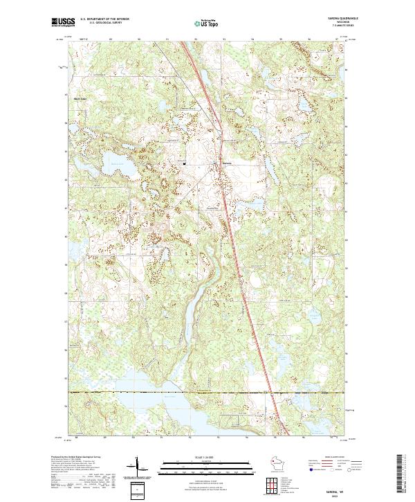
2022 Sarona
Washburn County, WI
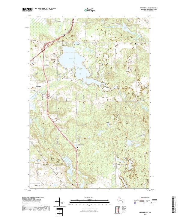
2022 Spooner Lake
Washburn County, WI
2022 Stanberry East
Washburn County, WI
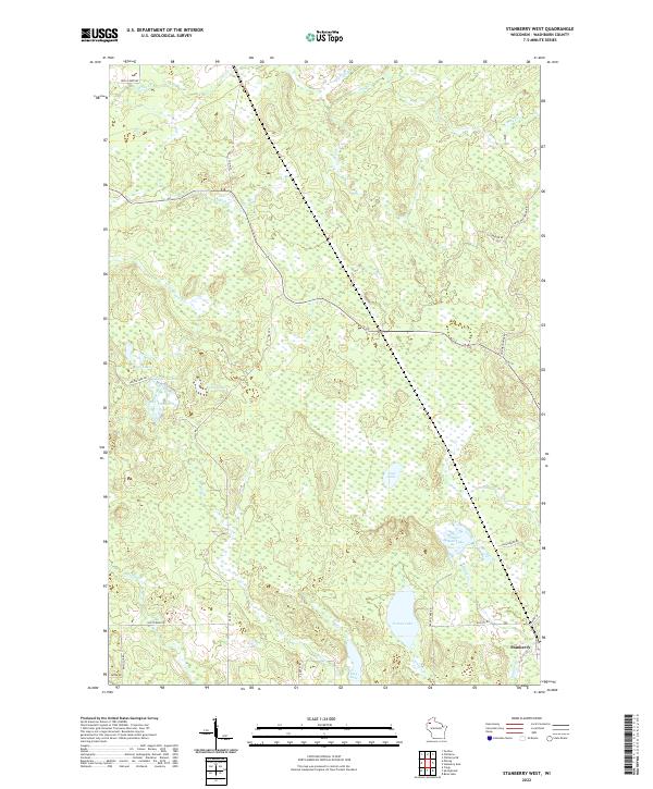
2022 Stanberry West
Washburn County, WI