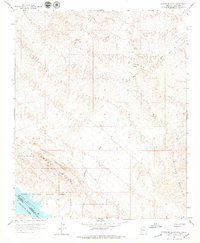
1959 Map of Standard Wash
USGS Topo · Published 1979About this map
Lake Havasu and the Colorado River dominate the southwestern corner of this desert landscape along the border of Arizona and California. The terrain is defined by the sharp elevations of the Aubrey Hills and the Bill Williams Mountains, split by the expansive drainage of Standard Wash. In the higher elevations of the northern section, mining activity is evident through the presence of the Manitowoc Mine, El Campo Mine, and various unnamed shafts. Small water sources such as Screwbean Spring and Gold Spring dot the arid stretches of Dutch Flat. The mapping reveals a sparse transportation network consisting primarily of a Jeep Trail, indicating the isolated nature of these mineral-rich mountains during the late 1950s. Lake Havasu State Park highlights early efforts to preserve the recreational and natural areas surrounding the reservoir.
Find a feature on this map
19 named features on this map. Tap any name to fly to it.
Don’t see what you’re looking for? This feature index may not catch every label — zoom into the map to look around manually.
Map Details
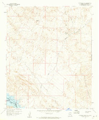
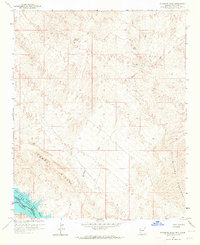
Editions of this 1959 Standard Wash Map
3 editions found
Other maps of this area

1903 · Needles
USGS Topo · 1:125,000

1904 · Needles Special
USGS Topo · 1:125,000

1911 · Parker
USGS Topo · 1:125,000

1927 · Buck Mountains
USGS Topo · 1:62,500

1929 · Buck Mountains
USGS Topo · 1:62,500

1943 · Giers Basin
USGS Topo · 1:62,500

1943 · Topock
USGS Topo · 1:62,500

1943 · Whipple Mts.
USGS Topo · 1:62,500

1950 · Parker Dam Area
USGS Topo · 1:62,500

1950 · Topock
USGS Topo · 1:62,500