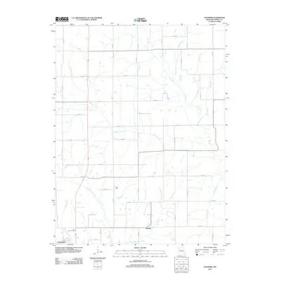
2012 Map of Standish
USGS Topo · Published 2012About this map
Standish and the outlying north-central reaches of Carrollton anchor this survey of the Missouri landscape in the early 2010s. The region is defined by a dense network of creek systems that drain the agricultural terrain, most notably the meandering paths of Shootman Creek and Big Creek. A grid of county roads, such as Co RD-305 and Co RD-200, connects scattered homesteads and provides access to the region's rural landmarks. For local historians and genealogists, the map identifies significant sites like Saint Marys Cemetery and Pence Dam. The southern edge of the quadrangle shows the transition into more developed areas near Johnson Lake and the northern residential extensions of the county seat, while the interior remains a study in the persistence of small rural settlements and the intricate drainages of Little Wakenda Creek and Cottonwood Branch.
Find a feature on this map
46 named features on this map. Tap any name to fly to it.
Don’t see what you’re looking for? This feature index may not catch every label — zoom into the map to look around manually.
Map Details
Editions of this 2012 Standish Map
This is the sole edition of this map. No revisions or reprints were ever made.
Other maps of this area

1889 · Lexington
USGS Topo · 1:125,000

1890 · Marshall
USGS Topo · 1:125,000

1892 · Marshall
USGS Topo · 1:125,000

1901 · Marshall
USGS Topo · 1:125,000

1924 · Dawn
USGS Topo · 1:62,500

1924 · Hale
USGS Topo · 1:62,500

1950 · Coloma
USGS Topo · 1:24,000

1950 · Hale
USGS Topo · 1:24,000

1951 · Hale
USGS Topo · 1:24,000

1951 · Bosworth
USGS Topo · 1:24,000