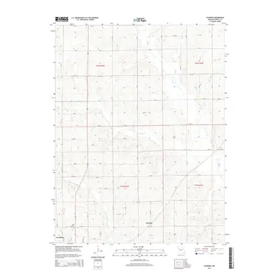
2015 Map of Standish
USGS Topo · Published 2015About this map
The community of Standish occupies the heart of this North Central Missouri landscape, situated near the intersection of several county routes and the meandering path of Cottonwood Br. To the southwest, the outskirts of Carrollton appear alongside Johnson Lake, providing a clear view of the town's northern expansion during the early 21st century. The terrain is defined by a dense network of seasonal and perennial waterways, including Shootman Cr and Little Wakenda Cr, which carve through the agricultural tracts of Carroll County.
Find a feature on this map
38 named features on this map. Tap any name to fly to it.
Don’t see what you’re looking for? This feature index may not catch every label — zoom into the map to look around manually.
Map Details
Editions of this 2015 Standish Map
This is the sole edition of this map. No revisions or reprints were ever made.
Other maps of this area

1889 · Lexington
USGS Topo · 1:125,000

1890 · Marshall
USGS Topo · 1:125,000

1892 · Marshall
USGS Topo · 1:125,000

1901 · Marshall
USGS Topo · 1:125,000

1924 · Dawn
USGS Topo · 1:62,500

1924 · Hale
USGS Topo · 1:62,500

1950 · Coloma
USGS Topo · 1:24,000

1950 · Hale
USGS Topo · 1:24,000

1951 · Hale
USGS Topo · 1:24,000

1951 · Bosworth
USGS Topo · 1:24,000