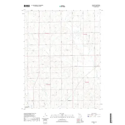
2017 Map of Standish
USGS Topo · Published 2017About this map
Standish and the northern outskirts of Carrollton anchor this central Missouri landscape, where a dense network of county roads serves a region defined by agricultural heritage and drainage patterns. The township lines of T54N and T53N divide a terrain etched by numerous waterways, including the winding Shootman Cr and Big Cr. For those tracing local history, Saint Marys Cem stands as a significant landmark near the southwestern corner of the sheet, situated just north of Johnson Lake. The map reveals a transition from the more developed road grids near the town centers to the smaller drainages of the Missouri River watershed, such as Little Wakenda Cr and Standley Br. This survey documents the modern layout of rural Carroll County, illustrating how contemporary infrastructure like State Hwy UU and State Hwy M follows the historical contours of the land.
Find a feature on this map
72 named features on this map. Tap any name to fly to it.
Don’t see what you’re looking for? This feature index may not catch every label — zoom into the map to look around manually.
Map Details
Editions of this 2017 Standish Map
This is the sole edition of this map. No revisions or reprints were ever made.
Other maps of this area

1889 · Lexington
USGS Topo · 1:125,000

1890 · Marshall
USGS Topo · 1:125,000

1892 · Marshall
USGS Topo · 1:125,000

1901 · Marshall
USGS Topo · 1:125,000

1924 · Dawn
USGS Topo · 1:62,500

1924 · Hale
USGS Topo · 1:62,500

1950 · Coloma
USGS Topo · 1:24,000

1950 · Hale
USGS Topo · 1:24,000

1951 · Hale
USGS Topo · 1:24,000

1951 · Bosworth
USGS Topo · 1:24,000