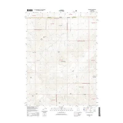
2014 Map of Standrod
USGS Topo · Published 2014About this map
Standrod sits at the northern edge of this high-desert landscape, straddling the border between Idaho and Utah. The settlement serves as a gateway to the Sawtooth National Forest, which dominates the central and southern portions of the map. High peaks and deep drainages define the area, most notably George Peak and the surrounding Raft River Mountains. This terrain is deeply incised by numerous canyons and hollows, such as Limekiln Hollow and Fisher Creek Canyon, illustrating the complex watershed system that feeds into George Creek and Onemile Creek.
Find a feature on this map
39 named features on this map. Tap any name to fly to it.
Don’t see what you’re looking for? This feature index may not catch every label — zoom into the map to look around manually.
Map Details
Editions of this 2014 Standrod Map
This is the sole edition of this map. No revisions or reprints were ever made.
Other maps of this area

1954 · Pocatello
USGS Topo · 1:250,000

1954 · Brigham City
USGS Topo · 1:250,000

1958 · Pocatello
USGS Topo · 1:250,000

1958 · Brigham City
USGS Topo · 1:250,000

1959 · Park Valley
USGS Topo · 1:62,500

1959 · Yost
USGS Topo · 1:62,500

1962 · Brigham City
USGS Topo · 1:250,000

1968 · Jim Sage Canyon
USGS Topo · 1:24,000

1968 · Naf
USGS Topo · 1:24,000

1968 · Chokecherry Canyon
USGS Topo · 1:24,000