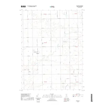
2018 Map of Stanford
USGS Topo · Published 2018About this map
Stanford serves as the primary hub of activity in this part of McLean County, situated amidst an expansive agricultural landscape defined by the Public Land Survey System. The town center is oriented around W Main St and N Division St, where a local Po and a network of residential streets meet the surrounding fields. The area's history is reflected in long-established burial grounds such as Mount Pleasant Cem to the north and Brooks Grove Cem to the south, which remain as markers of the early rural community. The terrain is subtly carved by a network of waterways, including Middle Fork Sugar Cr and Kings Mill Cr, which drain the undulating farmland. These creeks follow natural meanders that contrast with the rigid, mile-by-mile grid of roads like Co Rd 1400 N and N 400 East Rd, illustrating the transition from natural drainage patterns to an engineered landscape.
Find a feature on this map
57 named features on this map. Tap any name to fly to it.
Don’t see what you’re looking for? This feature index may not catch every label — zoom into the map to look around manually.
Map Details
Editions of this 2018 Stanford Map
This is the sole edition of this map. No revisions or reprints were ever made.
Other maps of this area

1927 · Danvers
USGS Topo · 1:62,500

1928 · Mackinaw
USGS Topo · 1:62,500

1930 · Danvers
USGS Topo · 1:62,500

1932 · Mackinaw
USGS Topo · 1:62,500

1949 · Mc Lean
USGS Topo · 1:62,500

1951 · McLean
USGS Topo · 1:62,500

1951 · Minier
USGS Topo · 1:62,500

1958 · Peoria
USGS Topo · 1:250,000

1961 · Peoria
USGS Topo · 1:250,000

1963 · Peoria
USGS Topo · 1:250,000