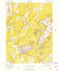
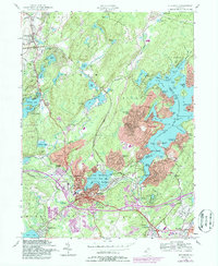
1954 Map of Stanhope
USGS Topo · Published 1957About this map
Lake Hopatcong serves as the focal point for this mid-century New Jersey landscape, which is heavily shaped by both recreation and critical transit corridors. The boroughs of Stanhope and Netcong form a dense residential and commercial hub at the intersection of major rail lines, including the Delaware Lackawanna and Western RR. Local community life is anchored by institutions like the Stanhope Union Cem, St Josephs Ch, and the Consolidated Sch.
Find a feature on this map
114 named features on this map. Tap any name to fly to it.
Don’t see what you’re looking for? This feature index may not catch every label — zoom into the map to look around manually.
Map Details
Editions of this 1954 Stanhope Map
5 editions found
Other maps of this area

1888 · Franklin
USGS Topo · 1:62,500

1888 · Hackettstown
USGS Topo · 1:62,500

1888 · Lake Hopatcong
USGS Topo · 1:62,500

1891 · Wallpack
USGS Topo · 1:62,500

1893 · Wallpack
USGS Topo · 1:62,500

1894 · Hackettstown
USGS Topo · 1:62,500

1894 · Lake Hopatcong
USGS Topo · 1:62,500

1894 · Franklin
USGS Topo · 1:62,500

1897 · Franklin
USGS Topo · 1:62,500

1898 · Lake Hopatcong
USGS Topo · 1:62,500