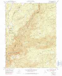
1948 Map of Stanislaus
USGS Topo · Published 1979About this map
Stanislaus National Forest landscape is defined by the steep canyons and timbered slopes of the Sierra Nevada as they appeared shortly after the war. The map reveals the infrastructure of early 20th-century resource management, from the Utica Ditch and Hunter Reservoir to the Powerhouse located at Stanislaus along the river. Transportation patterns of the era are visible in the Ebbetts Pass Highway and the Lumber RR tracks north of Griswold Creek. Local history is anchored by settlements like Avery and Hathaway Pines, while the presence of the Stanislaus Grove Big Trees marks the eastern reach of the quadrangle. High-country landmarks such as McCormick Lookout and Doud Hill oversee a landscape still deeply tied to its logging and hydroelectric roots.
Find a feature on this map
39 named features on this map. Tap any name to fly to it.
Don’t see what you’re looking for? This feature index may not catch every label — zoom into the map to look around manually.
Map Details
Editions of this 1948 Stanislaus Map
4 editions found

Other maps of this area

1891 · Big Trees
USGS Topo · 1:125,000

1894 · Big Trees
USGS Topo · 1:125,000

1897 · Big Trees
USGS Topo · 1:125,000

1901 · Big Trees
USGS Topo · 1:125,000

1947 · Sacramento
USGS Topo · 1:250,000

1948 · Sacramento
USGS Topo · 1:250,000

1948 · Columbia
USGS Topo · 1:62,500
1948 · Columbia SE
USGS Topo · 1:24,000
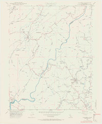
1948 · Columbia
USGS Topo · 1:24,000
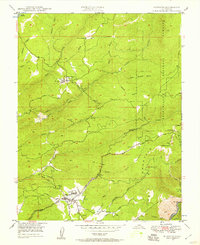
1948 · Murphys
USGS Topo · 1:24,000