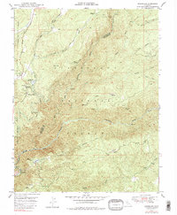
1948 Map of Stanislaus
USGS Topo · Published 1979About this map
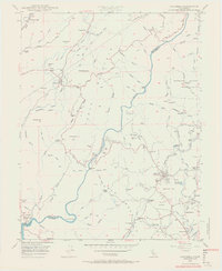
The Stanislaus River and its Middle Fork carve through this section of the Stanislaus National Forest, defining a landscape of industrial water management and timber extraction. The presence of the Utica Ditch and a significant Powerhouse near Clarks Flat illustrates the early 20th-century reliance on mountain water systems for power and irrigation. Along the higher ridges, the Lumber RR and numerous canyons like Long Canyon suggest the historic footprint of logging operations that once dominated the region.
Find a feature on this map
38 named features on this map. Tap any name to fly to it.
Don’t see what you’re looking for? This feature index may not catch every label — zoom into the map to look around manually.
Map Details
Editions of this 1948 Stanislaus Map
4 editions found

Other maps of this area

1891 · Big Trees
USGS Topo · 1:125,000

1894 · Big Trees
USGS Topo · 1:125,000

1897 · Big Trees
USGS Topo · 1:125,000

1901 · Big Trees
USGS Topo · 1:125,000

1947 · Sacramento
USGS Topo · 1:250,000

1948 · Sacramento
USGS Topo · 1:250,000

1948 · Columbia
USGS Topo · 1:62,500
1948 · Columbia SE
USGS Topo · 1:24,000
1948 · Columbia
USGS Topo · 1:24,000
1948 · Murphys
USGS Topo · 1:24,000