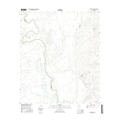
2016 Map of Stanmire Lake
USGS Topo · Published 2016About this map
The Trinity River defines the western edge of this landscape, its winding course forming the boundary between Leon and Houston Counties. Along the river's eastern banks, a dense network of oxbow lakes and wetlands characterizes the bottomlands, including Stanmire Lake, Alligator Lake, and Field Lake. These water bodies suggest a dynamic river system that has shifted over time, creating a rich environment for local wildlife and agriculture.
Find a feature on this map
52 named features on this map. Tap any name to fly to it.
Don’t see what you’re looking for? This feature index may not catch every label — zoom into the map to look around manually.
Map Details
Editions of this 2016 Stanmire Lake Map
This is the sole edition of this map. No revisions or reprints were ever made.
Other maps of this area

1951 · Elkhart
USGS Topo · 1:62,500

1953 · Palestine
USGS Topo · 1:250,000

1957 · Palestine
USGS Topo · 1:250,000

1964 · Oakwood
USGS Topo · 1:24,000

1964 · Porter Springs
USGS Topo · 1:24,000

1964 · Eunice
USGS Topo · 1:24,000

1964 · Halls Bluff
USGS Topo · 1:24,000

1964 · Lake Leon
USGS Topo · 1:24,000

1964 · Hays Spring
USGS Topo · 1:24,000

1964 · Stanmire Lake
USGS Topo · 1:24,000