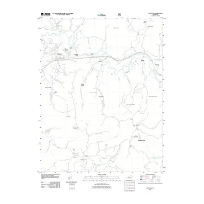
2011 Map of Stanton
USGS Topo · Published 2011About this map
Stanton serves as the focal point of this 2011 survey, situated where the Red River meets the local transportation network at the Stanton Interchange. The landscape is defined by the sharp transition from the river valley floor to the prominent ridges and cliffs characteristic of this region. Notable high points such as Raven Rock, McKinney Cliff, and Cow Creek Mountain overlook a complex system of drainage branches including Morris Creek and Cane Creek.
Find a feature on this map
57 named features on this map. Tap any name to fly to it.
Don’t see what you’re looking for? This feature index may not catch every label — zoom into the map to look around manually.
Map Details
Editions of this 2011 Stanton Map
This is the sole edition of this map. No revisions or reprints were ever made.
Other maps of this area

1892 · Beattyville
USGS Topo · 1:125,000

1950 · Levee
USGS Topo · 1:24,000

1952 · Clay City
USGS Topo · 1:24,000

1952 · Frenchburg
USGS Topo · 1:24,000

1952 · Stanton
USGS Topo · 1:24,000

1952 · Means
USGS Topo · 1:24,000

1952 · Levee
USGS Topo · 1:24,000

1952 · Slade
USGS Topo · 1:24,000

1952 · Cobhill
USGS Topo · 1:24,000

1952 · Irvine
USGS Topo · 1:24,000