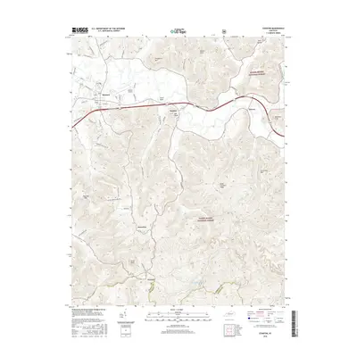
2016 Map of Stanton
USGS Topo · Published 2016About this map
Stanton serves as a central hub in Powell County, situated just north of the massive tracts of the Daniel Boone National Forest. The landscape is defined by its dramatic elevation changes, where named peaks like Congleton Mtn and Cow Creek Mtn overlook the deep valleys of the Red River region. Settled along the lowland corridors are the communities of Rosslyn, Bowen, and Knowlton, while the southern reaches contain the historic community of Furnace near the banks of Furnace Lake. The area's infrastructure supports both local industry and forest access, from the Stanton Airport to winding mountain routes such as Hatton Creek School Rd and Knowlton Ridge Rd. Geologic landmarks including Raven Rock, State Rock, and McKinney Cliff offer specific reference points for those studying the topography and land use patterns of this Eastern Kentucky corridor.
Find a feature on this map
56 named features on this map. Tap any name to fly to it.
Don’t see what you’re looking for? This feature index may not catch every label — zoom into the map to look around manually.
Map Details
Editions of this 2016 Stanton Map
This is the sole edition of this map. No revisions or reprints were ever made.
Other maps of this area

1892 · Beattyville
USGS Topo · 1:125,000

1950 · Levee
USGS Topo · 1:24,000

1952 · Clay City
USGS Topo · 1:24,000

1952 · Frenchburg
USGS Topo · 1:24,000

1952 · Stanton
USGS Topo · 1:24,000

1952 · Means
USGS Topo · 1:24,000

1952 · Levee
USGS Topo · 1:24,000

1952 · Slade
USGS Topo · 1:24,000

1952 · Cobhill
USGS Topo · 1:24,000

1952 · Irvine
USGS Topo · 1:24,000