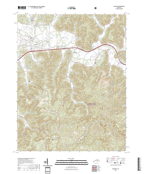
2022 Map of Stanton
USGS Topo · Published 2022About this map
The Powell County Courthouse serves as a central anchor for the town of Stanton, where modern infrastructure meets the ancient topography of the Cumberland Plateau's western edge. This landscape is defined by the winding course of the Red River and its numerous tributaries like Paint Creek and Judy Cr. Moving south and east, the terrain becomes increasingly complex as it enters the Daniel Boone National Forest, characterized by prominent high points such as Raven Rock, Congleton Mtn, and the distinctive Chop Chestnut Ridge.
Find a feature on this map
102 named features on this map. Tap any name to fly to it.
Don’t see what you’re looking for? This feature index may not catch every label — zoom into the map to look around manually.
Map Details
Editions of this 2022 Stanton Map
This is the sole edition of this map. No revisions or reprints were ever made.
Other maps of this area

1892 · Beattyville
USGS Topo · 1:125,000

1950 · Levee
USGS Topo · 1:24,000

1952 · Clay City
USGS Topo · 1:24,000

1952 · Frenchburg
USGS Topo · 1:24,000

1952 · Stanton
USGS Topo · 1:24,000

1952 · Means
USGS Topo · 1:24,000

1952 · Levee
USGS Topo · 1:24,000

1952 · Slade
USGS Topo · 1:24,000

1952 · Cobhill
USGS Topo · 1:24,000

1952 · Irvine
USGS Topo · 1:24,000