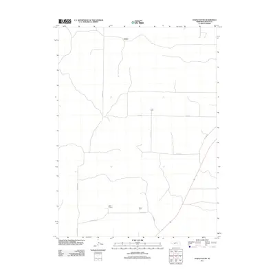
2011 Map of Stapleton SW
USGS Topo · Published 2011About this map
Large family-held ranching operations define this portion of the Nebraska Sandhills in Lincoln County. This 2011 survey illustrates a sparse, working landscape where property boundaries and access are dictated by the terrain rather than dense urban development. Historically significant homesteads and ranching outfits like the Horseshoe Bar Ranch and Sivits Ranch anchor the northern sections of the quadrangle, while the Hadley Barrett IX Ranch and Melvin Ranch mark the southern reaches. The road network, including N Sandhill Rd and E Barrett Rd, consists of essential arteries connecting these remote cattle operations. The presence of N Llama Rd and various auto gates suggests a landscape specialized for livestock management, reflecting the enduring agricultural character of central Nebraska in the early 21st century.
Find a feature on this map
12 named features on this map. Tap any name to fly to it.
Don’t see what you’re looking for? This feature index may not catch every label — zoom into the map to look around manually.
Map Details
Editions of this 2011 Stapleton SW Map
This is the sole edition of this map. No revisions or reprints were ever made.
Other maps of this area

1899 · North Platte
USGS Topo · 1:125,000

1902 · North Platte
USGS Topo · 1:125,000

1954 · North Platte
USGS Topo · 1:250,000

1956 · North Platte
USGS Topo · 1:250,000

1957 · North Platte
USGS Topo · 1:250,000

1967 · North Platte
USGS Topo · 1:250,000

1970 · North Platte East
USGS Topo · 1:24,000

1970 · North Platte West
USGS Topo · 1:24,000
1970 · Maxwell NE
USGS Topo · 1:24,000

1972 · Stapleton NW
USGS Topo · 1:24,000