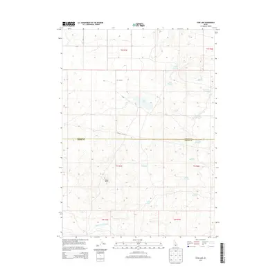
2013 Map of Star Lake
USGS Topo · Published 2013About this map
Star Lake Ranch and the managed waters of the Snake River Plain define this high-desert landscape along the boundary of Lincoln and Jerome Counties. The terrain is characterized by a sophisticated network of water storage and irrigation, including the significant Milner Gooding Canal at the southern edge and numerous small basins like Rabbit Lake Reservoir and Seeding Reservoir. These features suggest a region heavily adapted for ranching and agriculture in a semi-arid environment.
Find a feature on this map
19 named features on this map. Tap any name to fly to it.
Don’t see what you’re looking for? This feature index may not catch every label — zoom into the map to look around manually.
Map Details
Editions of this 2013 Star Lake Map
This is the sole edition of this map. No revisions or reprints were ever made.
Other maps of this area

1955 · Twin Falls
USGS Topo · 1:250,000

1958 · Twin Falls
USGS Topo · 1:250,000

1964 · Hazelton NE
USGS Topo · 1:24,000

1964 · Perrine
USGS Topo · 1:24,000

1964 · Hunt
USGS Topo · 1:24,000

1971 · Shoshone SE
USGS Topo · 1:24,000

1971 · Star Lake
USGS Topo · 1:24,000

1971 · Owinza
USGS Topo · 1:24,000

1971 · Dietrich
USGS Topo · 1:24,000

1971 · Dietrich Butte
USGS Topo · 1:24,000