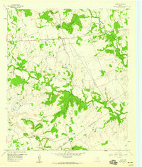
1959 Map of Star
USGS Topo · Published 1960About this map
Star and Moline anchor this late-1950s landscape where the borders of Mills, Hamilton, and Lampasas counties meet. The terrain is defined by a series of prominent gaps and elevations, including Hurst Gap and the distinctive Star Mountain. Significant watercourses like Bennett Creek and the Lampasas River cut through the countryside, influencing the early settlement patterns and road placements of the era.
Find a feature on this map
19 named features on this map. Tap any name to fly to it.
Don’t see what you’re looking for? This feature index may not catch every label — zoom into the map to look around manually.
Map Details
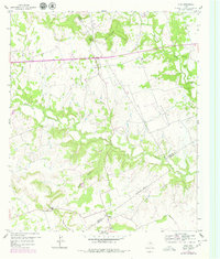
Editions of this 1959 Star Map
2 editions found
Other maps of this area
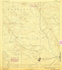
1887 · Lampasas
USGS Topo · 1:125,000
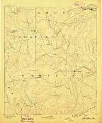
1888 · Hamilton
USGS Topo · 1:125,000
1894 · Hamilton
USGS Topo · 1:125,000
1894 · Lampasas
USGS Topo · 1:125,000
1954 · Brownwood
USGS Topo · 1:250,000
1954 · Evant
USGS Topo · 1:62,500
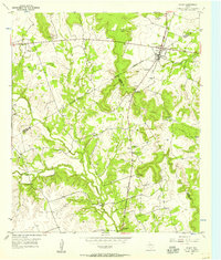
1954 · Evant
USGS Topo · 1:24,000
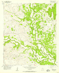
1954 · Adamsville
USGS Topo · 1:24,000
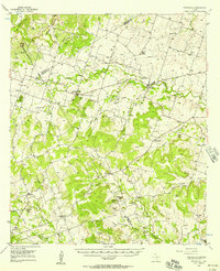
1956 · Pottsville
USGS Topo · 1:62,500
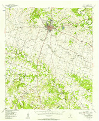
1956 · Hamilton
USGS Topo · 1:62,500